|

44.24551, -71.25332
44.065374,
-71.103673
44.07520,
-71.13944
Mt. Franklin
44.14655,
-71.36570
44.18276,
-71.39925
44.26947,
-71.35100
44.123107,
-71.241430
44.1161114,
-71.312113
44.12297, -71.68247
44.25349,
-71.44832
Tuesday 9/4/12
Picked up Jo's rental at 7:30 am. Slow going through rush hour up to New Hampshire border. Very rainy. Saw sign for "Shaker Village" but decided not to visit. Reached Conway about 11:30. Too rainy to paint. Upon local recommendation set up camp at Green Meadow Campground in Glen. The owners had a distinct "Deliverance" air to them. Made me think twice about filling in the requested info ("How many cars? Just one? How many people? Just you?") The campground was virtually deserted. Odd to be able to make a cell phone call from my tent. Heavy rain all night.
Wednesday 9/5/12
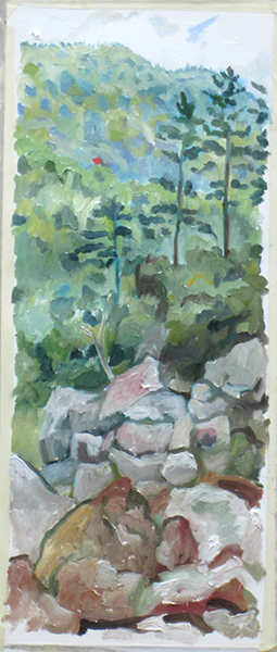
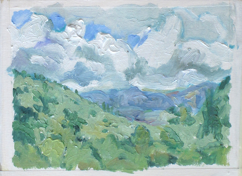
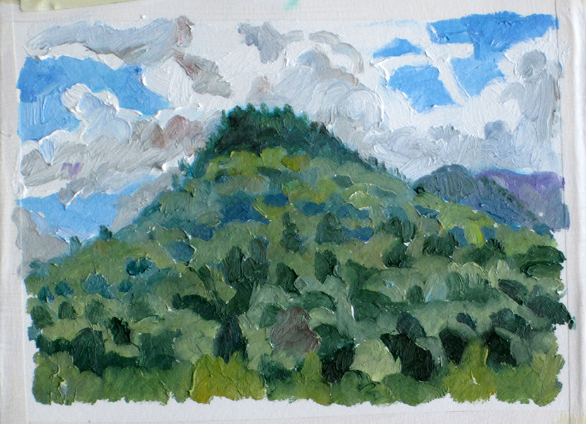
The next day painted the scene above (click the image to see larger version) and:
Thursday 9/6/12
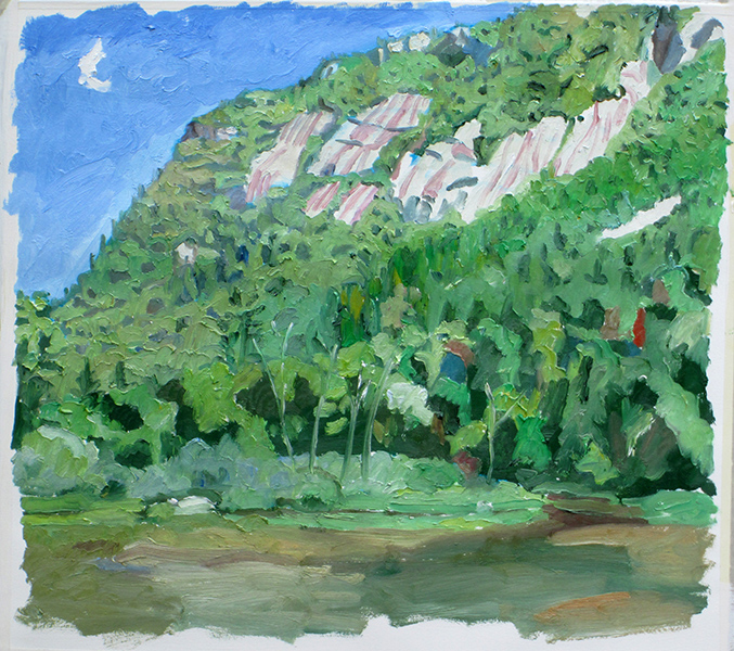
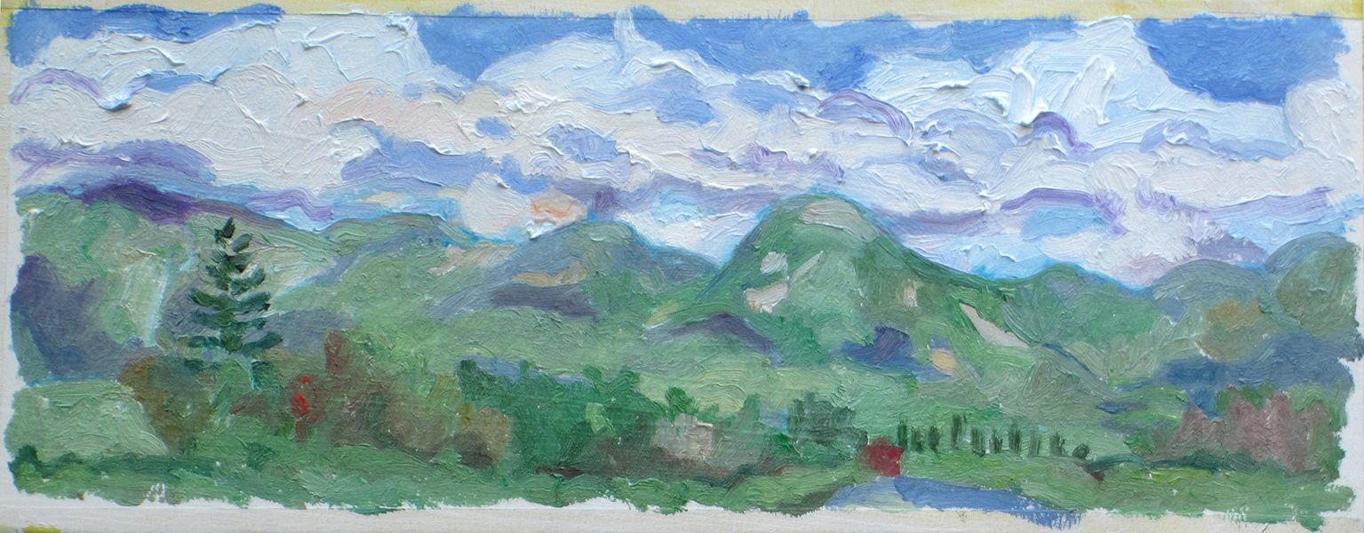
Went back to Conway to paint:
Was very impressed with the scenery in Crawford Notch, decided to relocate.
Friday, 9/7/12
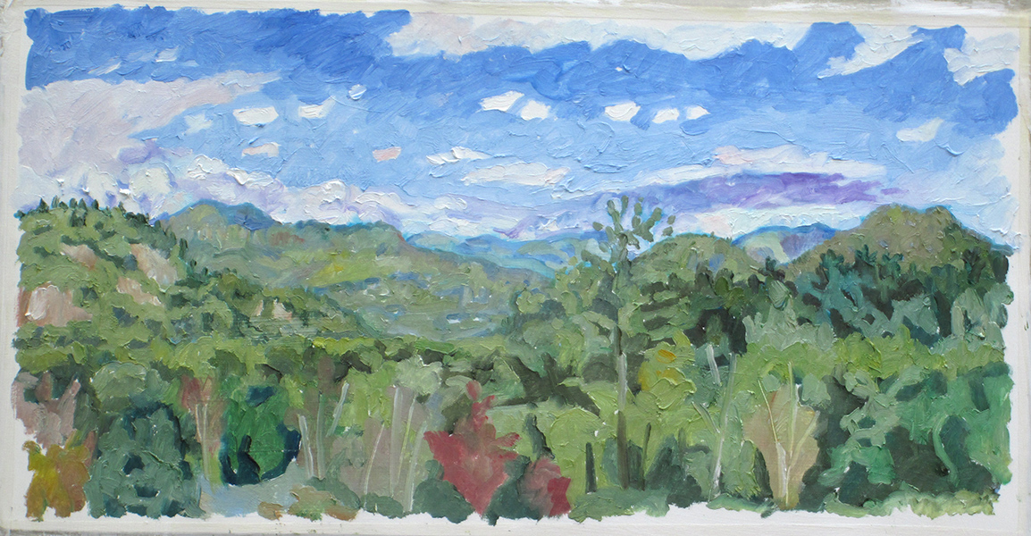
Drove to Crawford Notch and painted:
This was the only painting I did that day. I keep trying to paint a small painting in the morning so that I'll have the energy and time to paint a larger one later. Instead, I keep undertaking ambitious paintings like this. Took up residence in Zealand Campground, a primitive camp site on Federal land.
Saturday 9/8/12
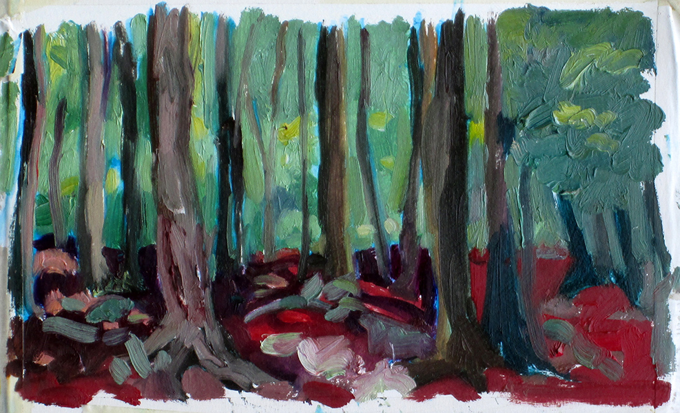
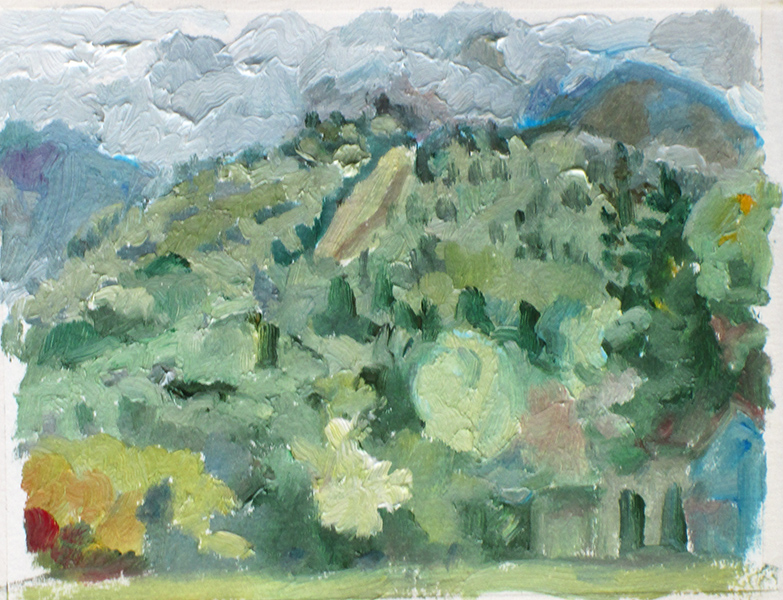
Bathed in an ice-cold mountain stream. Ridiculously pleased with myself. Did three little paintings today. first:
Reached the Cog Railway site just as the train was leaving. This is the traditional little steam engine which makes its run once a day. By the time I set up and started painting it had just reached the crest of the first rise. You can see a little touch of brown paint where the coal fire smoke escaped. A huge crowd of Indians, the women in traditional saris, were waiting for the 9:30 train. Given the patches of bare midriff I could see, I wonder how they fared on top of Mt. Washington. Very windy. Here's an opportunity to discuss my observations regarding New Hampshire politics:
If lawn signs are anything to go by, the Conway/Glen area is solidly behind Romney (also, the repubs are running someone with a name from a Moliere play for governor), while at the other end of Rte. 302 in the Bretton Woods area, opinion tends more towards Obama. What I found interesting, however, is the way the signs are displayed. The Romney-ites go for big-ass plastic signs, six or eight feet long (I certainly didn’t get out and measure one–it’s b’ar huntin’ season up there). The Obama signs, on the other hand, are largely home-made. Typically they consist of a letter-size pre-printed “Obama 2012″ sign glued into the upper righthand corner of a piece of poster board, with the owner’s political opinion scratched out around it in shaky ballpoint pen. Instead of clear political slogans like “Show Us the Returns” or “Romney: Not One of Us,” the Democratic signs explain at length and in almost agonizing detail the thinking behind their decision. “While I would have preferred a more substantive approach to health care reform, I feel that so-called Obamacare–a name I now choose to embrace–is at least a well-intentioned try at providing this essential…” Well, you get the idea.
Click the image to see larger version. Still windy, almost too windy to paint. More on New Hampshire politics:
I just can’t help picturing fleets of 18-wheelers identically blazoned with Romney logos and stacked with neatly shrink-wrapped palettes of oversized Romney signs fanning out from Romney Central to carefully-chosen Romney campaign headquarters sites in carefully-calculated Romney numbers to maximize the impact of the Romney message, while Obama supporters get a Fedex envelope full of “Obama 2012" signs and a note–here, pass these around–and then head off to the local Staples for some poster board and markers and the Home Depot for some cheap lath.
I actually got a little rained out painting this third painting and then it began to pour, beginning around 6 pm. Heavy rain, thunder and lightning, very windy, and then the temperature dropped 20 degrees. All of a sudden the sleeping bag, which I had unzipped to use as a blanket, wasn't doing the trick any more and the winter jacket, which I had brought along almost as a joke, started service as an additional blanket.
Let me mention here parenthetically that I saw virtually no animal life for this entire trip. I saw a covey of wild turkeys and three Great Blue Herons, but aside from squirrels and chipmunks, nothing else to speak of. I stopped off at a country store for ice and on impulse also bought a bag of Oreos. I said to the cashier "Haven't seen any bears yet so I thought I'd buy some bait." She answered very seriously "Oh, don't do that." By my calculations there are approximately 4,000 "Caution Moose Crossing" signs for every actual moose in the state of New Hampshire.
Sunday 9/9/12
Decided to head down into Franconia Notch. Once again, Franconia Notch, The World's Greatest Man-Made Natural Wonder™, fails to deliver. I wasted the $15 entry fee a few years ago to visit the Flume, so that was off the list. For those who want their fond childhood memories crushed, the Flume is a great place to start. As I recall, all the charming little waterfalls and tumbled stones I remember climbing around on as a kid are now safe from depredation behind an extensive system of chest-high log fences, and the overall experience of nature is enhanced by a series of concrete steps and metal railings to facilitate the communing process. However, I did not go in this time, so they may have made things even better in the interim.
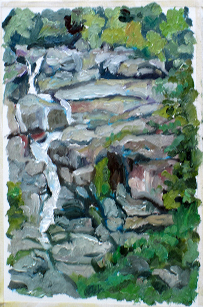
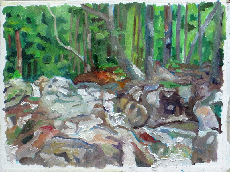
I did do a painting in the Notch. I stopped off at The Basin, a 15 foot deep/wide glacial cauldron or pothole, to check it out. Again I was not impressed. The Basin looks like forgotten, mildewed corner of a public swimming pool. The glacial potholes in Shelburne, MA are bigger and nicer. I dunno, maybe if I'd arrived in the spring the water levels might have been higher and The Basin more impressive. In any case, like all the natural wonders™ of Franconia Notch it came accompanied by a log fence, a sign warning against climbing on the fence or swimming, and an informational sign from which I learned that Henry David Thoreau had been thoroughly impressed by The Basin. I instantly formed the conclusion that anything that impressed Henry David Thoreau probably sucks, while anything that put Henry David Thoreau into a near catatonic state of existential angst is probably worth seeing. That's why I'm going to make it to Mt. Katahdin some day. I painted, but fifty yards further up the trail at a charming waterfall with a smaller cauldron the State of New Hampshire had not seen fit to hide behind a log fence or annotate with signage.
I did visit Boise Rock, which looked to be about a hundred feet tall in the 19th century illustration displayed at the Visitors' Center. It turned out in reality to be about ten feet tall. There's a story behind Boise Rock. Some guy named Boise got caught in a snowstorm, killed and skinned his horse to make a blanket, and hid under an overhang of Boise Rock for an entire day until rescued. Apparently this thin gruel is all it takes to get a notice in Franconia Notch State Park. Few people realize that the original Franconia Notch draw was an enormous boulder that sat astride the Flume Gorge. People came from miles around to see it. One day, back in the 1850's, there was a huge storm and the next day the boulder had disappeared. There are still signs pointing to where the rock used to be.
Franconia Notch diatribe, continued:
I pulled off at the Old Man of the Mountain site, wondering "How are they going to spin this one?" As usual, Franconia Notch did not disappoint. The OMOTM viewing site has been replaced (actually, added to--you can still go to the old viewing site, which now has a sign that says "This is where you used to stand when you used to be able to see the OMOTM") by the OMOTM Memorial Park. The park consists of a plaza with poles planted at certain positions. You select a location based on your height and looked along the pole to where the OMOTM used to be. Certain cast metal elements welded near the top of the pole line up, and you can see a replica of the OMOTM -- OZOTM?--in all its former glory. Seriously.
I have no doubt that future generations will find even tackier ways to keep the OMOTM's memory alive. He is, after all, printed on every piece of official stationary and every highway sign in the state.
There are places in Franconia Notch I'd like to paint. Unfortunately, there are no places to pull over along the Parkway to do the paintings. I will probably make a trip back there (there is a lovely tarn next to the Memorial Park) but in general, the entire thing seems to have been designed primarily as a habitat for chipmunks.
This painting, executed near the Mt. Washington Resort and carefully painted to omit all mention of the Mt. Washington Resort, was the last of the trip. It was cold as hell that night, I was constantly getting tangled in the sleeping bag, and frankly the whole "lying on the ground and having to stand up carefully in the dark to go take a pee" thing was getting to me, as was the "I could trip and die here now and no one would find my body for weeks" aspect of poking around in the woods on my own. So I abandoned my plan for one more evening of camping (this time along the Kankamangus Highway) and headed for home. On the way back I stopped off at the Canterbury Shaker Village (the longest seven mile ride of my life) and bought myself a hat, which pleases me no end, and I did end up with a mild case of plein air thumb (when your thumb is a distinctly different color from the rest of you hand due to holding a palette with just your thumb sticking out). All in all, a pleasant and rewarding experience. Next year, the Smokies!\
